
A long, narrow region, and that is not a figure of speech
A million and a half people on a strip twenty kilometres wide, with the mountain starting right behind the beach.
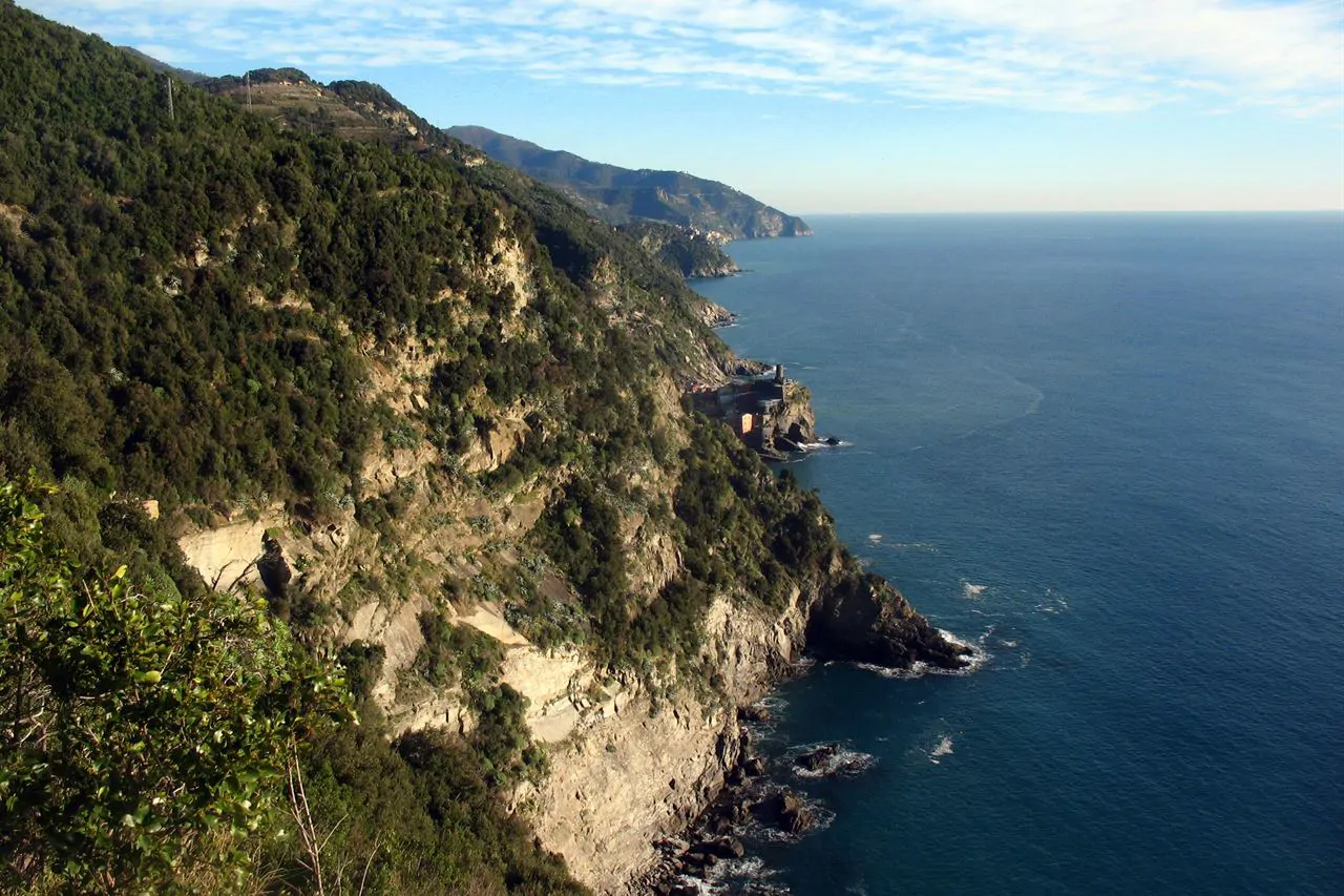
On a map Liguria is a thin arc running from France to Tuscany. From the ground it is a single slope: you come out of the water and start climbing, and two kilometres from the shoreline you are already at three hundred metres. There is no plain, and that is why people here have built vertically, in terraces, for centuries.
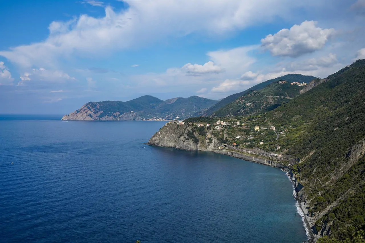
West and east
Genoa divides the region into two halves that do not resemble one another. To the west, towards France, the coast is wider and gentler, the beaches are sand, the climate is milder and palms really do grow: this is the Riviera dei Fiori, where nineteenth-century England came to spend the winter. To the east the rock drops straight into the water, the beaches are short and pebbled, and the villages cling wherever they found room.
The campsites, and why they are like that
Since there is no flat ground, nearly every Ligurian campsite is terraced: the pitches sit on successive levels linked by ramps that are sometimes steep. With a long vehicle it is always worth phoning ahead and asking about the gradient of the access and the size of the pitch, because the answers vary a great deal from one site to another.
Here you do not find space, you build it. One wall at a time.
How to explain the Ligurian landscape in one line
How to plan it
The region is three hundred and fifty kilometres long and the motorway runs the whole way, but it is a motorway of tunnels and viaducts where nobody goes fast: Ventimiglia to Lerici is a good four hours. So pick one stretch and stay on it, and use the train for short hops: the coastal line stops in almost every seaside town, and in the Cinque Terre it is the only sensible way to move.
The other thing to know is the summer. In August the coast is full and the small towns have no parking; in June and September the sea is the same, indeed warmer in September, and there is room everywhere.